Comments are only allowed for registered users.
Before you insert your comment, you have to log on or register.
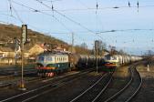
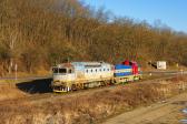
754.077-6 | |
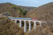
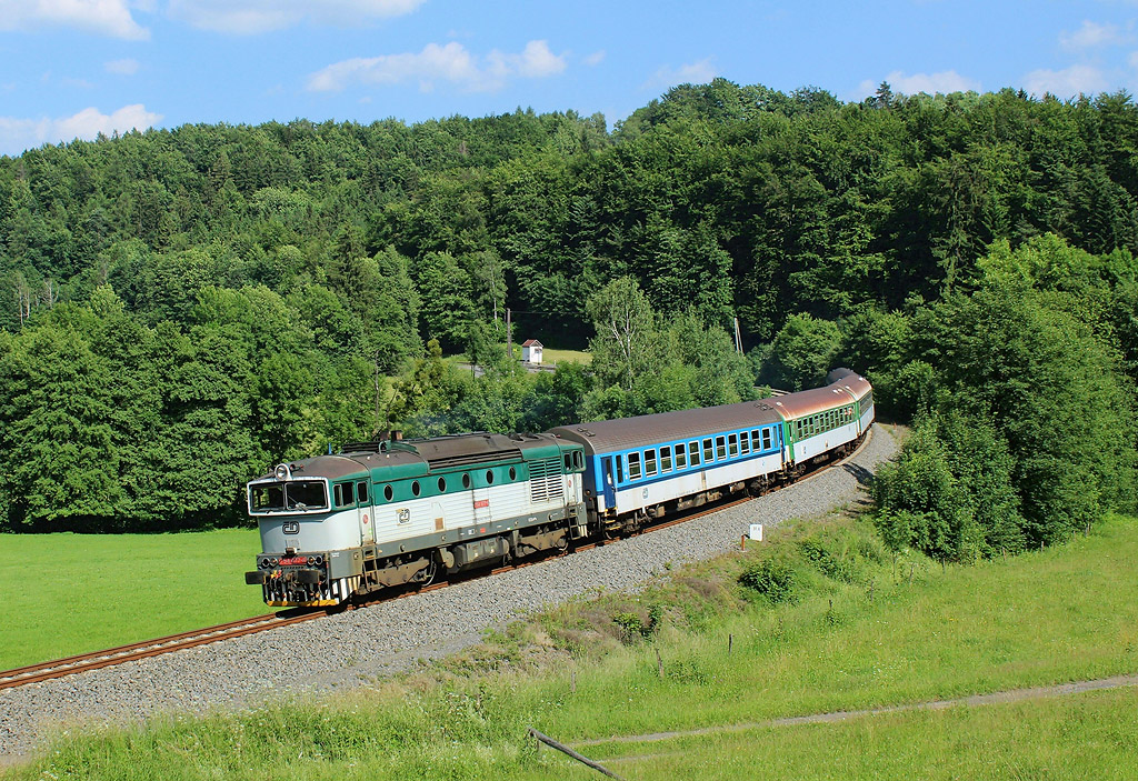 | Informace o fotografii: - Section: Kunčice pod Ondřejníkem - Frenštát pod Radhoštěm - GPS: 49°31'59.668"N, 18°16'49.265"E » - Datum: 24.6.2017 - By: Tomáš Krajcar  - Comm.: Os 3138 - Zobrazeno: 2036x - Detailní EXIF informace » - Rating od autorů: 10 - Rating od uživatelů: 7 |
| Abyste mohli hodnotit, musíte se přihlásit | |
Add comment
Sign in
© 2001 - 2024 ŽelPage
- Webmaster - Frequently Asked Questions
:. Projects
:. Websites
:. Contacts
:. Sledujte nás
Info

informacni okenko